
Understanding population composition across geographic regions is fundamental to effective governance, infrastructure development, and service delivery optimization. Demographic Distribution Analysis provides government agencies, urban planners, policy makers, and businesses with precise intelligence about how populations are distributed spatially, what characteristics define different demographic segments, and how these patterns influence resource allocation and strategic planning decisions.
At DS Technoverse, we specialize in delivering comprehensive Demographic Distribution Analysis services that transform raw census data, administrative records, and geospatial intelligence into actionable insights. Our methodology combines advanced GIS analytics, statistical modeling, and data visualization techniques to help organizations understand population patterns, identify growth corridors, assess service delivery gaps, and make evidence-based planning decisions that optimize outcomes for communities across India and globally.
About Demographic Distribution Analysis – Spatial Intelligence for Strategic Planning
Demographic Distribution Analysis is the systematic examination of how populations are distributed across geographic space, combined with analysis of demographic characteristics including age structure, gender composition, household size, educational attainment, economic status, and migration patterns. This analytical discipline goes beyond simple population counts to reveal the spatial patterns, clustering tendencies, and demographic variations that shape service demand, infrastructure requirements, and policy effectiveness.
DS Technoverse approaches demographic distribution analysis as both a technical discipline and a strategic planning tool. We recognize that effective planning requires understanding not just how many people live in a given area, but who they are, where they’re concentrated, how they’re changing over time, and what their presence means for infrastructure capacity, service delivery systems, and resource allocation priorities.
Our team combines expertise in demography, geographic information systems (GIS), data analytics, and urban planning to deliver demographic intelligence that government departments, municipal corporations, Smart City SPVs, private sector organizations, and research institutions can immediately apply to their planning processes.

Why Choose DS Technoverse for Demographic Distribution Analysis
Organizations across government and private sectors choose DS Technoverse because we deliver demographic intelligence that directly supports decision-making:
- Methodological Rigor: Our analysis follows established demographic methodologies aligned with Census of India standards, National Institute of Urban Affairs (NIUA) frameworks, and international best practices from organizations like the United Nations Population Division
- GIS and Spatial Analytics Expertise: We possess in-house capability to perform sophisticated spatial analysis, dasymetric mapping, hot spot identification, and accessibility modeling that reveals patterns invisible in tabular data
- Multi-Source Data Integration: We integrate Census data, administrative records, satellite imagery, survey data, and open-source intelligence to create comprehensive demographic profiles that overcome limitations of single data sources
- Government-Ready Deliverables: Our reports, maps, and datasets are structured for direct inclusion in Master Plans, Detailed Project Reports (DPRs), Smart City Proposals, and funding applications with formatting that meets government standards
- Actionable Insights: We translate demographic patterns into specific planning implications, identifying service gaps, infrastructure pressure points, investment priorities, and policy opportunities that decision-makers can act upon immediately
- Sector-Specific Customization: Whether analyzing school-age populations for education planning, elderly concentrations for healthcare facility placement, or workforce distribution for economic development, we tailor analysis to sectoral needs
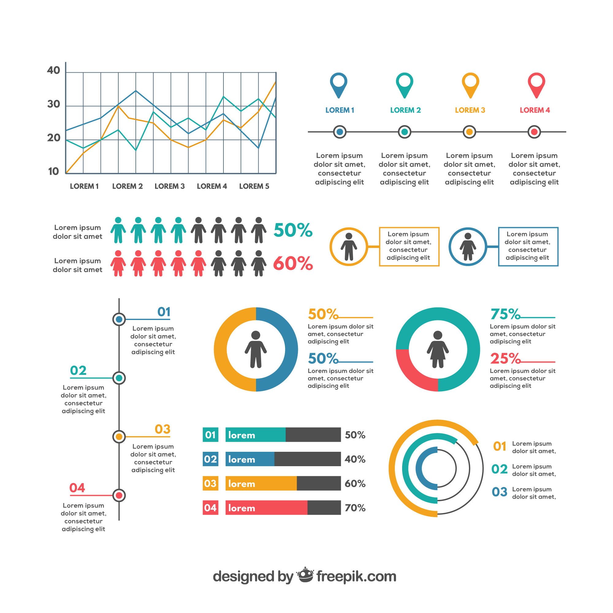
![]()
Comprehensive Demographic Distribution Analysis Services
Population Density Mapping and Spatial Distribution Analysis
We create detailed population density maps at multiple geographic scales—from district level to municipal ward to neighborhood—revealing where population concentrations exist, how density varies across space, and where urban sprawl or densification is occurring. Our density analysis employs dasymetric mapping techniques that allocate population to inhabited areas rather than administrative units, providing realistic representation of settlement patterns.
This service supports land use planning, infrastructure dimensioning, emergency services placement, and urban growth boundary determination by showing planners exactly where people live and how spatial distribution patterns create service delivery challenges or opportunities.
Age-Structure and Cohort Analysis
Understanding age composition is critical for planning education facilities, healthcare services, elderly care infrastructure, and workforce development programs. We disaggregate populations into age cohorts—children, school-age youth, working-age adults, elderly—and map their spatial distribution to identify neighborhoods with high concentrations of specific age groups.
Our age-structure analysis reveals demographic transition patterns, dependency ratios, youth bulges, aging populations, and cohort-specific needs that inform sectoral planning across education, health, social welfare, and employment sectors. We calculate age pyramids at fine geographic scales to support facility-specific planning decisions.
Gender Composition and Household Structure Analysis
We analyze sex ratios, gender distribution patterns, household composition (nuclear vs. joint families), average household sizes, and family structure variations across geographic areas. This intelligence supports housing policy design, domestic violence prevention programs, women’s safety planning, and social service targeting by revealing where specific household types concentrate and what their service needs might be.
Socioeconomic and Educational Distribution Mapping
Demographic Distribution Analysis at DS Technoverse includes mapping of educational attainment levels, literacy rates, occupational categories, income distributions, and poverty concentrations across geographic areas. This socioeconomic profiling reveals disparities, identifies underserved populations, and supports targeted intervention design for inclusive development.
We integrate Census socioeconomic data with administrative records to create multi-dimensional profiles that show how educational achievement, economic status, and demographic characteristics intersect spatially, enabling precision targeting of development programs.
Migration Pattern and Population Mobility Analysis
We quantify in-migration and out-migration flows, identify source regions for migrants, analyze seasonal migration patterns, and assess how population mobility affects service demand and planning requirements. Migration analysis is particularly critical for rapidly growing cities, industrial corridors, and regions experiencing significant demographic change.
Our migration intelligence helps planners understand whether population growth is driven by natural increase or in-migration, what characteristics migrants bring, and how mobility patterns create planning challenges requiring adaptive strategies.
Religious and Cultural Distribution Analysis
Where relevant for planning purposes, we analyze religious composition, linguistic diversity, and cultural community distributions to support inclusive planning that respects diversity and ensures equitable service provision across all population segments. This analysis supports community facility planning, religious infrastructure allocation, and social cohesion initiatives.
How Our Demographic Distribution Analysis Process Works
Discovery and Requirements Definition
We begin each engagement by understanding your specific planning context, geographic scope, demographic indicators of interest, and intended use of the analysis. Whether supporting a Master Plan, DPR preparation, policy formulation, or business site selection, we ensure our analysis addresses your actual decision-making needs.
Data Acquisition and Integration
DS Technoverse accesses multiple authoritative data sources including Census of India databases, administrative records from government departments, geospatial datasets, satellite imagery, and survey data. We negotiate data access agreements where necessary and ensure compliance with data privacy and security protocols.
Our data integration framework harmonizes boundary definitions, resolves inconsistencies, and creates unified datasets that enable comprehensive analysis across multiple demographic dimensions.
Spatial and Statistical Analysis
We employ advanced GIS techniques including spatial interpolation, kernel density estimation, hot spot analysis, accessibility modeling, and spatial regression to reveal demographic patterns and their relationships with infrastructure, services, and environmental factors. Statistical analysis quantifies distributions, calculates summary measures, and tests for spatial clustering or dispersion patterns.
Visualization and Mapping
Our cartographic outputs transform complex demographic data into intuitive visual representations. We create thematic maps showing population density gradients, demographic characteristic distributions, and spatial variations in key indicators. Interactive dashboards enable users to explore data at multiple scales and filter by demographic attributes.
All maps follow standard GIS conventions, include proper legends and scale bars, and are delivered in formats compatible with government GIS systems for integration into broader planning exercises.
Insight Generation and Reporting
We translate spatial patterns into planning insights, identifying high-growth areas requiring infrastructure expansion, underserved populations lacking adequate service access, demographic mismatches between service supply and population need, investment priorities based on population concentration and characteristics, and policy opportunities to address spatial inequities.
Our reports document methodology, present findings with supporting evidence, and provide actionable recommendations structured for immediate implementation.
Stakeholder Presentation and Capacity Building
DS Technoverse presents findings to government stakeholders, planning teams, and decision-makers through customized presentations that communicate complex demographic intelligence in accessible formats. We provide training on interpretation and application of demographic data to build institutional capacity for ongoing demographic analysis.
Benefits of Demographic Distribution Analysis for Planning Organizations
Evidence-Based Resource Allocation
Demographic Distribution Analysis enables governments and organizations to allocate resources—budgets, personnel, infrastructure investments—proportionate to actual population distributions and needs rather than political considerations or outdated assumptions. This improves efficiency, reduces waste, and enhances equity in service provision.
Optimized Infrastructure Planning
Understanding where populations concentrate and what characteristics they possess allows planners to right-size infrastructure systems, locate facilities optimally for accessibility, and sequence capital investments to match demographic realities. This prevents over-investment in low-demand areas and under-provision in high-growth zones.
Improved Service Delivery Targeting
Social services, healthcare programs, educational initiatives, and welfare schemes achieve better outcomes when targeted to populations with specific needs. Demographic distribution analysis identifies where target populations concentrate, enabling precision program design and implementation that maximizes impact per rupee invested.
Risk Reduction and Vulnerability Assessment
Mapping vulnerable populations—elderly living alone, children in poverty, households in hazard zones—enables proactive risk mitigation, disaster preparedness planning, and safety net program design that protects those most at risk.
Long-Term Planning Confidence
By revealing current demographic realities and establishing baselines for trend analysis, demographic distribution analysis provides the foundation for scenario planning, population projections, and long-range strategic planning that anticipates future needs rather than reacting to crises.
Compliance and Funding Justification
Government projects require demographic justification for funding approval. Our analysis provides the empirical evidence that supports DPRs, tender documents, funding applications, and inter-governmental transfer requests with credible, methodologically sound demographic intelligence.
Industry Applications of Demographic Distribution Analysis
Urban Planning and Smart City Development
Municipal corporations and Smart City SPVs use demographic distribution analysis to prepare Master Plans, design Area-Based Development interventions, allocate ward-level budgets, and justify infrastructure investments in Smart City Proposals submitted to central government.
Infrastructure Sector Planning
Water supply authorities, sewerage boards, electricity distribution companies, and transport corporations require population distribution data to dimension networks, plan capacity expansions, and forecast service demand. Our analysis translates demographic patterns into sector-specific capacity requirements.
Healthcare and Education Facility Planning
Health departments use demographic distribution analysis to locate primary health centers, plan hospital bed capacity, and design vaccination strategies. Education departments require school-age population distributions to plan classroom requirements, teacher recruitment, and school location decisions.
Retail and Commercial Site Selection
Private sector organizations use demographic analysis for store location decisions, market sizing, catchment area definition, and customer profiling to optimize commercial real estate investments and retail network planning.
Social Welfare and Development Programs
Government welfare schemes benefit from demographic targeting that identifies beneficiary populations, estimates program scale requirements, and monitors coverage gaps to ensure inclusive development reaches intended populations.

Frequently Asked Questions About Demographic Distribution Analysis
What is Demographic Distribution Analysis and why is it important?
Demographic Distribution Analysis is the systematic examination of how populations are distributed across geographic space combined with analysis of their characteristics. It’s important because it provides the empirical foundation for resource allocation, infrastructure planning, service delivery optimization, and policy design that matches interventions to actual population needs and locations.
What data sources does DS Technoverse use for demographic analysis?
We integrate multiple authoritative sources including Census of India data (decadal census and economic census), administrative records from government departments, geospatial datasets and satellite imagery, household surveys, and open-source intelligence to create comprehensive demographic profiles that overcome single-source limitations.
How does demographic analysis differ from simple population counts?
While population counts tell you how many people exist, demographic distribution analysis reveals who they are (age, gender, education, income), where they’re located spatially, how they’re distributed across neighborhoods, what characteristics concentrate in which areas, and what their presence means for planning and service delivery—providing actionable intelligence rather than just numbers.
Can demographic analysis predict future population patterns?
Yes, demographic distribution analysis establishes current baselines and historical trends that support population projection modeling. By understanding current distributions and growth rates, we can forecast future demographic patterns under different scenarios to support long-range planning.
How fine-grained can demographic distribution analysis become?
Analysis granularity depends on data availability. We typically work at ward level for municipal planning, enumeration block level where Census microdata permits, and can conduct household-level analysis when survey data or administrative records provide sufficient detail for neighborhood-scale planning.
What GIS tools does DS Technoverse use for spatial demographic analysis?
We employ industry-standard platforms including ArcGIS and QGIS for spatial analysis, custom Python and R scripts for statistical modeling, data visualization tools like Tableau and Power BI for dashboard creation, and cloud-based processing systems for handling large demographic datasets efficiently.
How long does a typical demographic distribution analysis project take?
Project duration varies by scope, but typical ward-level analysis for a medium-sized city requires 4-6 weeks from data acquisition through final report delivery. Larger regional analyses or multi-city projects may extend to 8-12 weeks depending on data complexity and deliverable requirements.
Transform Planning Decisions with Evidence-Based Demographic Intelligence
In an era where every planning decision has fiscal implications and social consequences, Demographic Distribution Analysis provides the empirical foundation that transforms guesswork into evidence-based strategy. DS Technoverse serves as your specialized analytics partner, delivering demographic intelligence that government agencies, urban planners, infrastructure developers, and policy makers can immediately apply to optimize resource allocation, improve service delivery, and achieve better outcomes for the communities they serve.
Our commitment extends beyond technical analysis to meaningful partnership—understanding your planning context, aligning our methodology with your institutional requirements, and delivering insights that directly support your decision-making processes. Whether you’re preparing a Master Plan, dimensioning infrastructure investments, targeting social programs, or conducting site selection analysis, DS Technoverse provides the Demographic Distribution Analysis services that turn demographic data into strategic planning advantage.
Sectors We Serve
Government Agencies
Urban Planners
Smart City SPVs
Infrastructure Developers
Research Institutions
Private Sector Organizations
Request Your Demographic Distribution Analysis Consultation
Partner with DS Technoverse to transform demographic data into planning intelligence